Solutions
Imagery. LiDAR. Insights.
We collect and process aerial and ground based data at the accuracy and scale appropriate to our customers' specific requirements.


Solutions
We collect and process aerial and ground based data at the accuracy and scale appropriate to our customers' specific requirements.
How we work
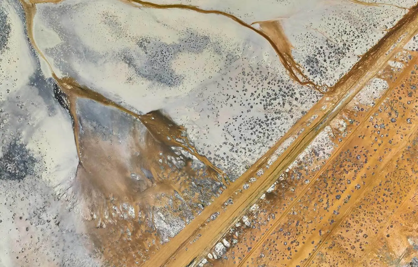
Aerial imagery data are acquired using our proprietary Gtech™ G1500 and G2800 multispectral aerial camera systems, incorporating the best available sensors and survey grade navigation technology. These systems produce high quality, spatially accurate images with incredible detail and life-like colour representation. The aerial imagery service also supports the development of data intensive solutions in our Insights business.
Aerial LiDAR data are acquired using our Gtech™ LX240 and LX480 airborne laser scanners, which work hand in hand with our premium imagery service to offer customers a range of accompanying derived products and services.
01 Imagery
Outline captures multispectral colour aerial images (RGB) and near infrared (NIR) light bands with industry leading true colour depth and sharpness. This combination creates a high-resolution 4-band image that offers insights well beyond the visible range. Outline Imagery is analysis-ready and available in different formats for GIS, CAD and image exploitation applications.
Read more about Imagery
02 LiDAR
Outline's mobile Gtech™ LX-series laser system brings flexibility and industry-leading precision and quality to the market. LiDAR point data acquisition is well suited to areas with dense vegetation and steep terrain. Rather than taking a picture, LiDAR scanners emit a laser pulse and measure the time taken for the reflected pulse to return to the scanner. This measurement is used to calculate the distance between the laser source and the object.
Read more about LiDAR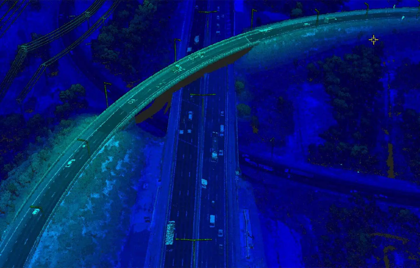
03 Insights
We treat every job as an Insights project. We call our AI Augmented Intelligence: it powers knowledge creation. Our approach is to understand the real world AI model outcomes you are trying to achieve and provide a recommended approach across the key workstreams to achieve them. Our AI toolbox is scalable, reliable and actionable when applied to large spatial datasets. Outline Insights is an open architecture promoting transparency in AI model development, with a focus on data preparation and refining training data for geospatial accuracy, pixel clarity and essential spatial ontology and topology parameters.
Read more about Insights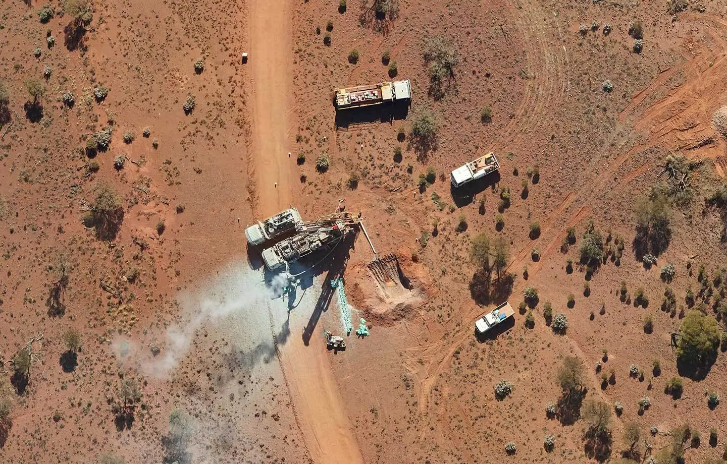
Talk to us