Solutions
Imagery
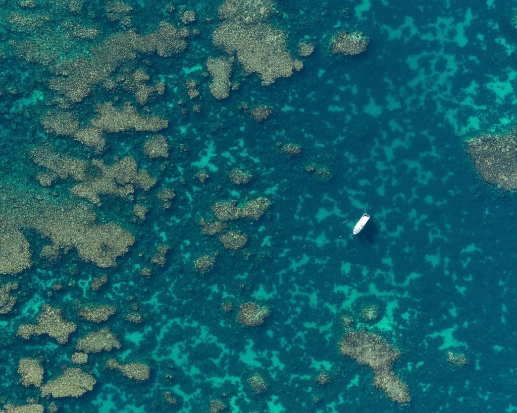
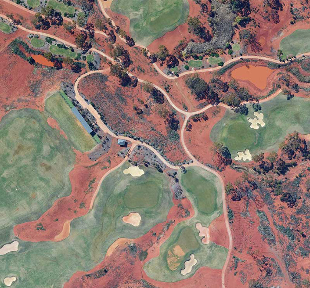
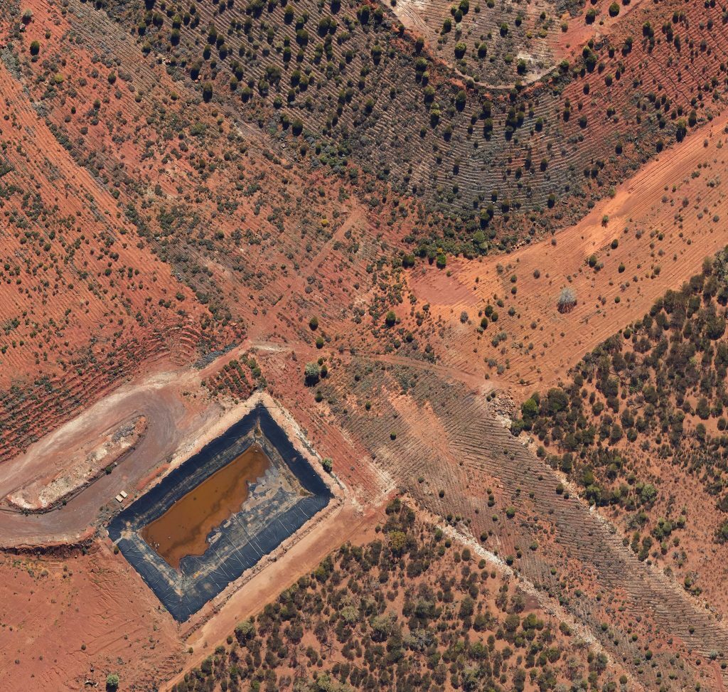
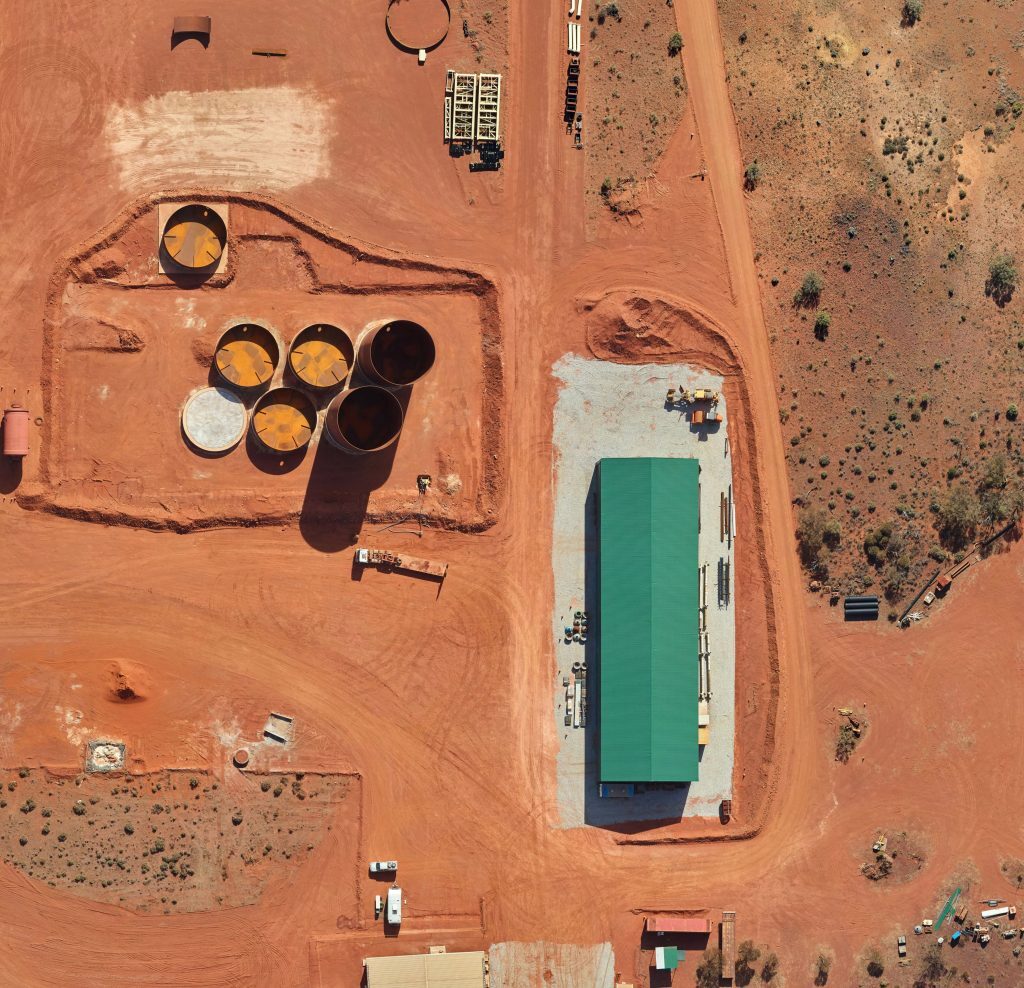
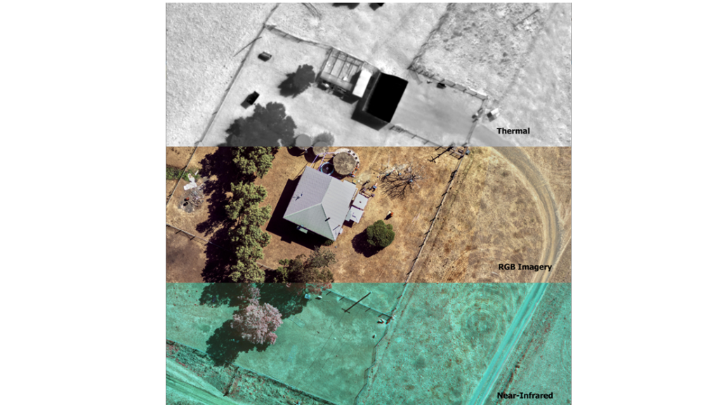
Outline captures multispectral colour aerial images (RGB) and near infrared (NIR) light bands with industry leading true colour depth and sharpness.


Solutions
Outline captures multispectral colour aerial images (RGB) and near infrared (NIR) light bands with industry leading true colour depth and sharpness.
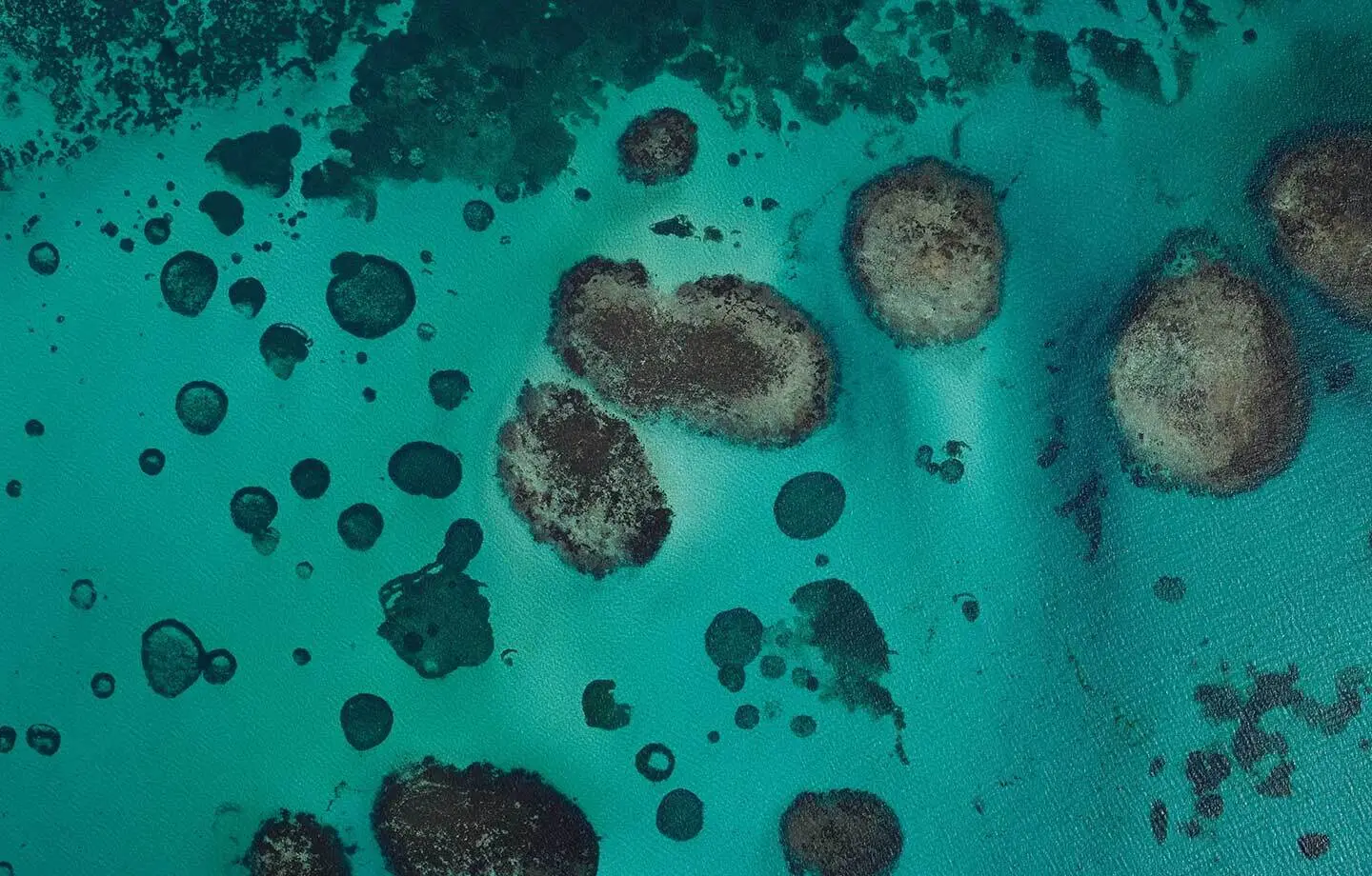
Overview
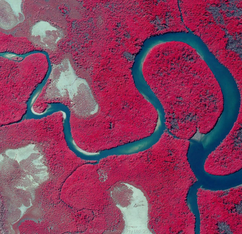
This combination creates a high-resolution 4-band image that offers insights well beyond the visible range. Outline Imagery is analysis-ready and available in different formats for GIS, CAD and image exploitation applications.
Outline aerial surveys range from small scale, high-resolution precision surveys of a few square kilometres to large scale surveys covering thousands of square kilometres. Our captures deliver imagery products with a high spatial accuracy that are used for applications like mine and urban planning, mapping, environment change monitoring, stockpile calculations and erosion monitoring.
Our Gtech™ camera systems have a wide range of capabilities and are readily transportable. This means we can tailor solutions to meet the specific data capture needs of our customers wherever, whenever.
Not only are the images visually appealing, the accuracy of each pixel is very high. For an image captured at 5 cm resolution, each pixel is accurate to within 10 cm of its real-world coordinate. Precise measurements can be made from the images, supporting highly accurate mapping and ensuring that images from repeat surveys overlay one another.
Gallery
Specifications
| Capture areas | 2 to 50,000 km² |
|---|---|
| Resolution | 2 to 35 cm |
| Horizontal accuracy | From 2 pixels RMSE |
| Vertical accuracy | From 2 pixels RMSE |
| Quick response | Immediate capture for time-sensitive data |
| Turnaround time | Less than 2 weeks for processing after a quick capture |
| Customisation | Custom timing and remote captures |
Downloads
Information sheet.
Information sheet.
Information sheet.
Information sheet.
Key benefits
Industry-leading resolution, colour, clarity and positional accuracy.
Equivalent or enhanced resolution and accuracy at a more affordable cost compared with other technologies.
A photogrammetry and GIS workflow designed for optimal quality and content delivery.
Industries we work with
Combining multispectral imagery with precision LiDAR can transform your data collection. Speak to us to learn more.
Talk to us