

Asset inspection and environmental monitoring
Where you need us, when you need us.
Specialist aerial mapping provider for mining compliance. Australia's choice for premium quality geospatial imagery, LiDAR and location based artificial intelligence.
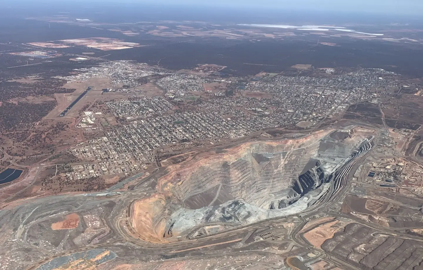
Open pit and township from the air
What we do
Imagery, LiDAR and insights from one platform, flown by our own aviation team.
Our 'go-to' supplier track record and reputation is built from the ground up through steadfast delivery and our commitment to quality. If you know your imagery and geospatial data, you will understand the value of our superior quality.
-
01
Imagery
Uncompromising sensor quality
Best of breed sensors, industry leading multispectral imagery. Four-band RGB and near infrared captures from 2 cm to 35 cm resolution.
-
02
LiDAR
Aerial Light Detection and Ranging
Outline Global's Gtech™ LX-series system captures high-fidelity LiDAR together with multispectral imagery.
-
03
Insights
Geospatial artificial intelligence
Fusing location with artificial intelligence to realise the embedded value of imagery and LiDAR insights.
-
04
Our aviators
Quality starts with experience in the sky
Our comprehensive aviation capability offers surety of supply and scalability to support your mission anywhere, anytime.
Specification
The numbers we fly to.
Established in 2009. Australia's first high resolution, survey grade portable camera pod system. More than 240 customers.
- Capture areas
- 2 to 50,000km²
- Image resolution
- 2 to 35cm
- Positional accuracy
- 2pixels RMSE
- LiDAR density
- 2 to 40pts/m²
- LiDAR vertical accuracy
- 50mm RMSE
- Processing turnaround
- < 2weeks
Why choose Outline Global
Premium quality geospatial imagery, LiDAR and location based AI.
We are Australia's choice for premium quality geospatial imagery, LiDAR and location based artificial intelligence (AI), delivering data intensive geospatial insights. Legacy aerial camera and LiDAR systems that are permanently installed in aircraft can be expensive to move around the country. We move cameras, not aircraft: our flexible and modular platform can be mobilised in a timely manner across our national aviation fleet.
- Reliable service
People choose us for reliable service delivered with a professional touch.
- To the point
We are experts in our field and we avoid using confusing jargon.
- Outcome driven
Our teams are vested in the success of our customers' projects.
- Unrivalled image quality
Our industry leading technology provides superior quality and accuracy.
- Reduce risk
Our strong client focus and impeccable track record delivers guaranteed results.
- Decision-ready
Our Analysis-Ready Data (ARD) are designed for decision support systems. No fuss, ready to use.
Featured captures
A sample of what comes back from the aircraft.
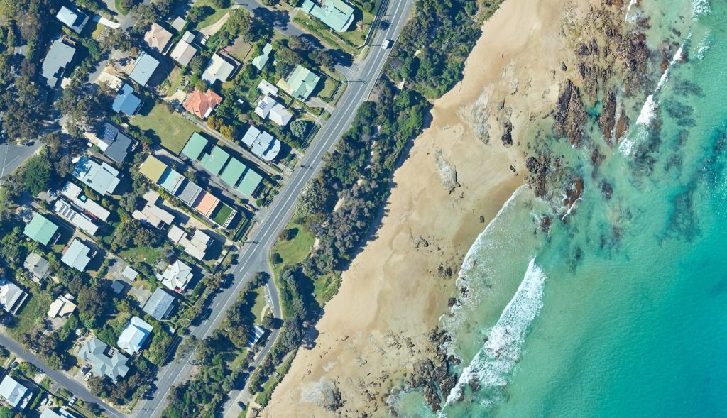
Great Ocean Road, Lorne, VIC 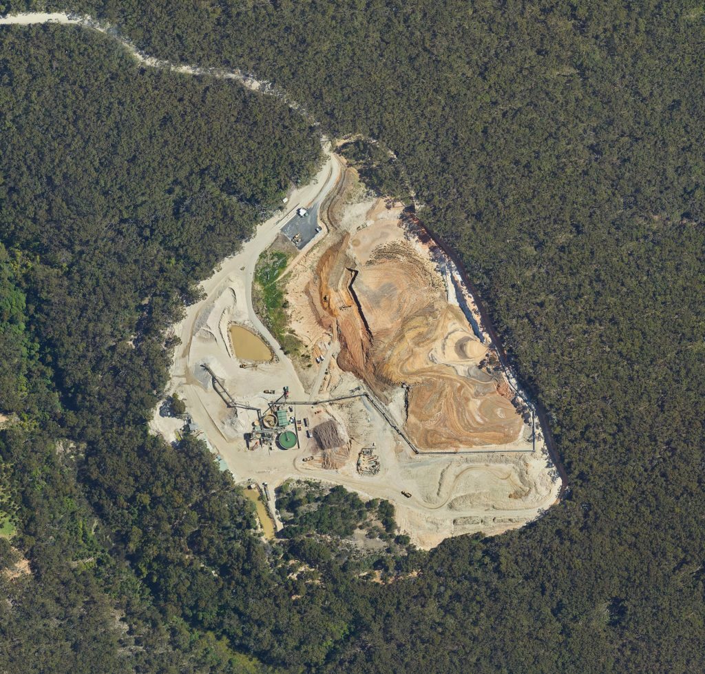
Bass Coast Mining 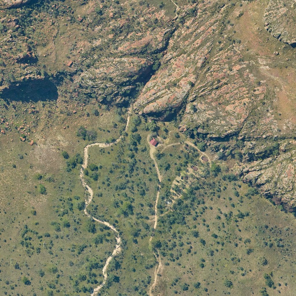
Outback Rural Community 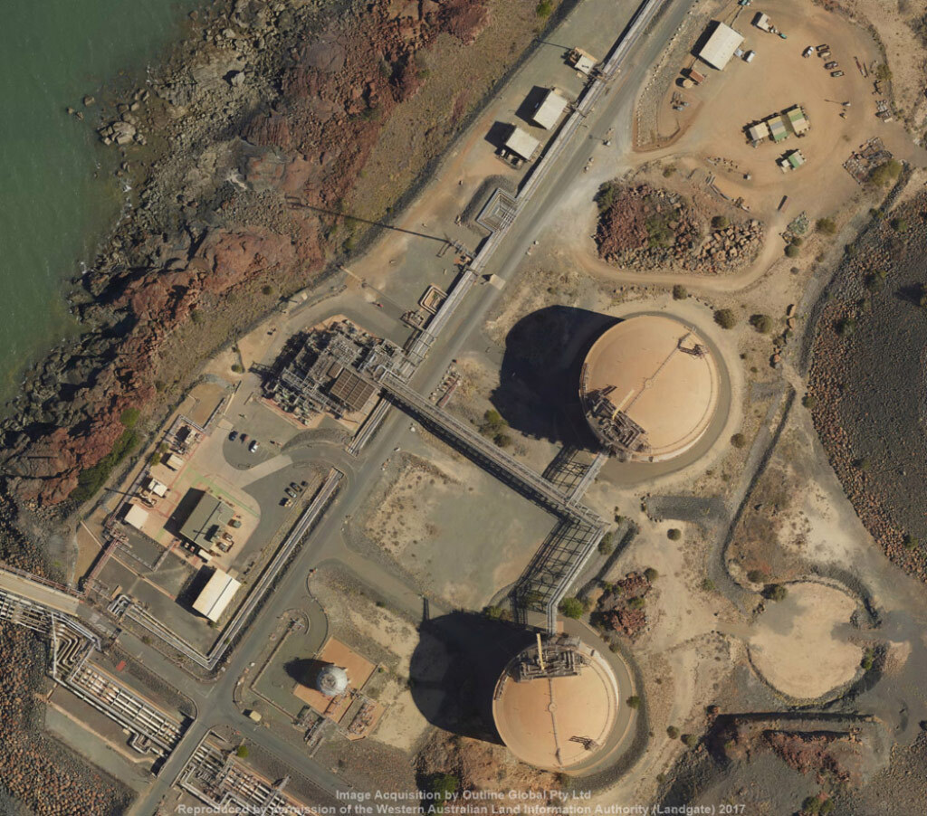
Oil and Gas Infrastructure 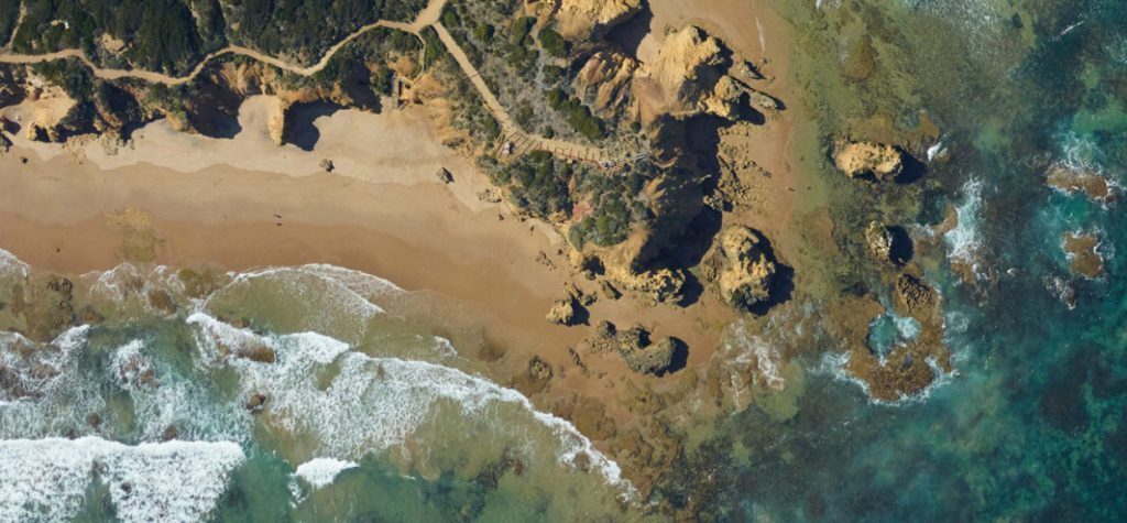
Torquay, VIC 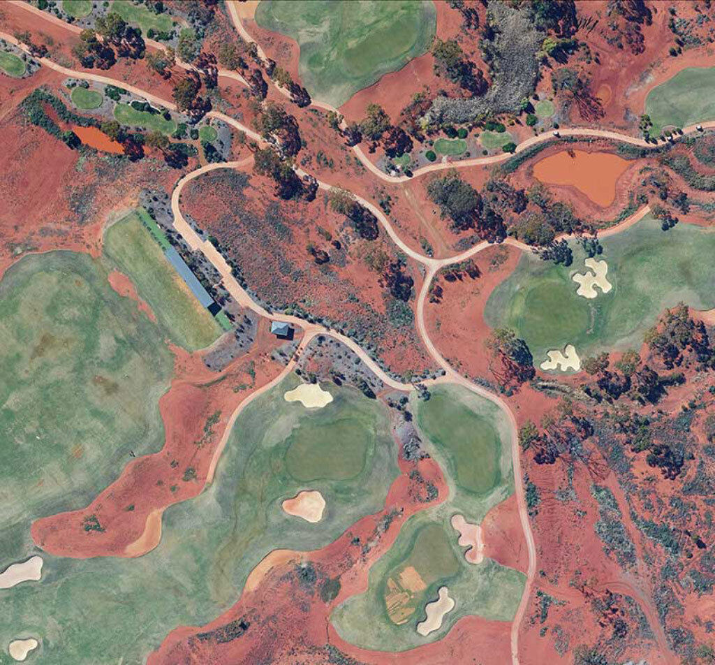
Kalgoorlie, WA
Every business has a story
Made in Australia by Australians.
Established in 2009, between 2012 and 2014 Outline designed and commercialised Australia's first high resolution, survey grade portable camera pod system, known as the Gtech™. Now the technology includes LiDAR, thermal, multispectral and a range of remarkable derived products, not least of which are our award winning location based artificial intelligence applications.
Outline continues to grow its capacity to service steady recurring revenue growth while maintaining commitment to local, regional and national resourcing in support of 'buy local' procurement initiatives. The broad scale uptake of our technology, the quality of the product, and professional service has made Outline one of the most trusted aerial imagery and LiDAR data suppliers in Australia.
Our clients
A selection from over 240 customers.
No job is too small or inconvenient. We look forward to being of service to your business.















What clients say
"With the Vexcel and ADS imagery, there is a certain amount of colour correcting needed, however, the Phase One camera needs very little if any correction."
Landgate WA, Photogrammetry"It has saved us a serious amount of money. We would like to further investigate the ability to use the imagery for exploration."
Exploration Manager, Mining"Happy with the imagery and no issue with the data. The project was very well executed."
Spatial Data Co-ordinator, Vic State Govt"I want to thank you all for a remarkable season. This project would not have been possible without your hard work and dedication every day for the past few months. You guys are the real Remote Sensing MVPs!"
Principal Project Officer, Remote Sensing"We believe this may be the best dataset we have ever received for this project. The imagery is very crisp and the colours are excellent."
Senior Data Manager, Victoria Government"The imagery looks really sharp and realistic. Thanks again for a good job."
Senior Data Manager, Mining