Solutions
LiDAR
Outline's mobile Gtech™ LX-series laser system brings flexibility and industry-leading precision and quality to the market.


Solutions
Outline's mobile Gtech™ LX-series laser system brings flexibility and industry-leading precision and quality to the market.
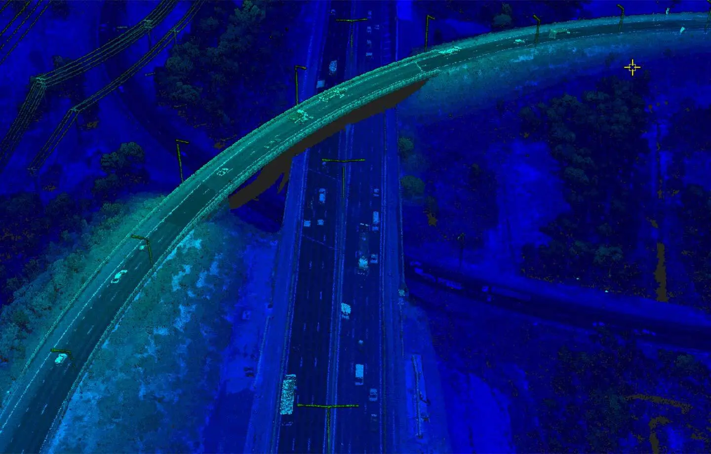
Overview
LiDAR point data acquisition is well suited to areas with dense vegetation and steep terrain. Rather than taking a picture, LiDAR scanners emit a laser pulse and measure the time taken for the reflected pulse to return to the scanner. This measurement is used to calculate the distance between the laser source and the object.
Traditional LiDAR systems are unwieldy and expensive. With Outline's flexible and mobile Gtech™ laser system and its tightly integrated GPS-IMU, high-resolution, accurate elevation products can be supplied at a competitive cost. LiDAR data can optionally be served with co-registered image data as a colourised point cloud and more.
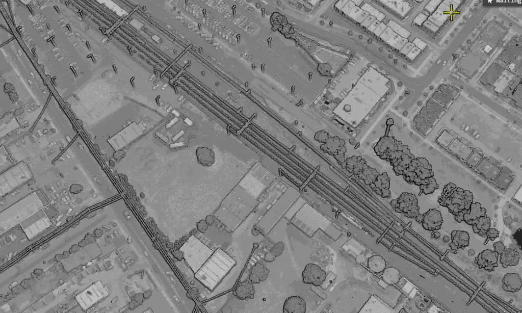
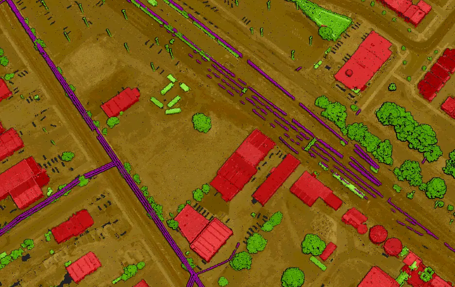
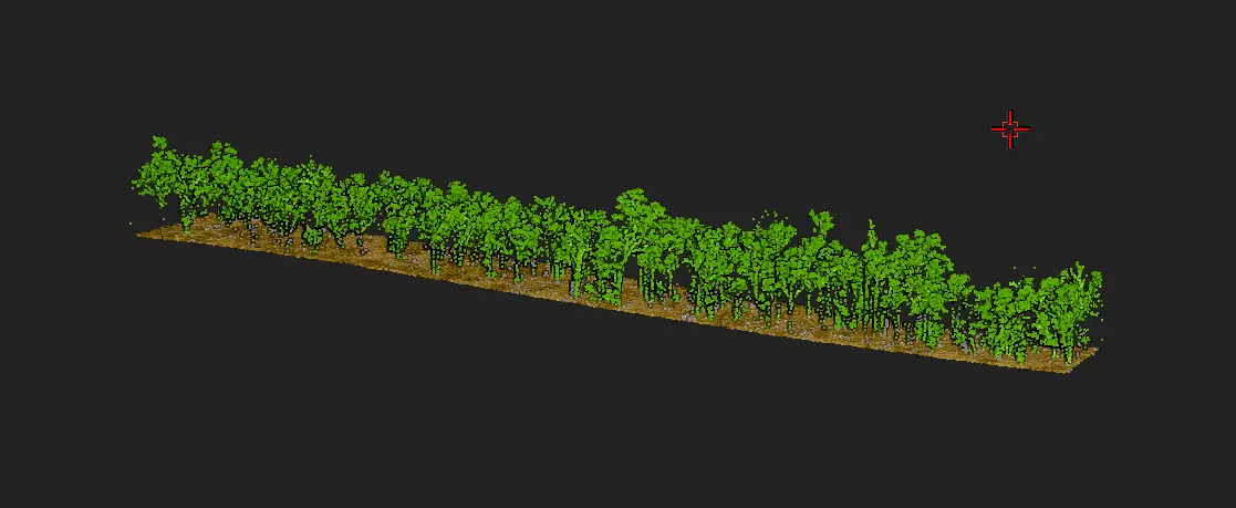
The laser penetrates the vegetation canopy, providing a detailed and accurate representation of the ground surface and of the vegetation and other features above it. Height values are then classified into above-ground and ground features. This detailed elevation data can be used for applications such as engineering works, vegetation mapping, drainage and detailed corridor mapping.
Gallery
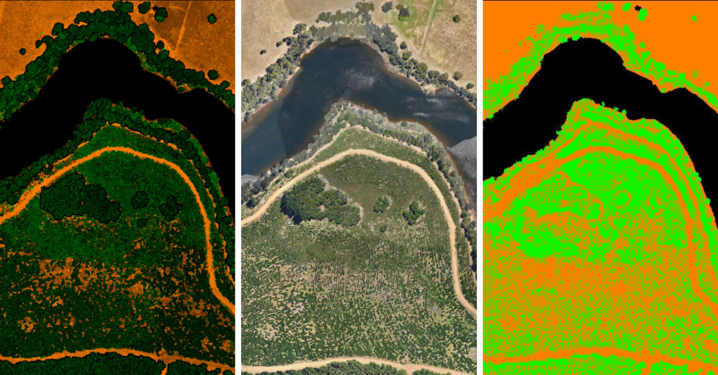
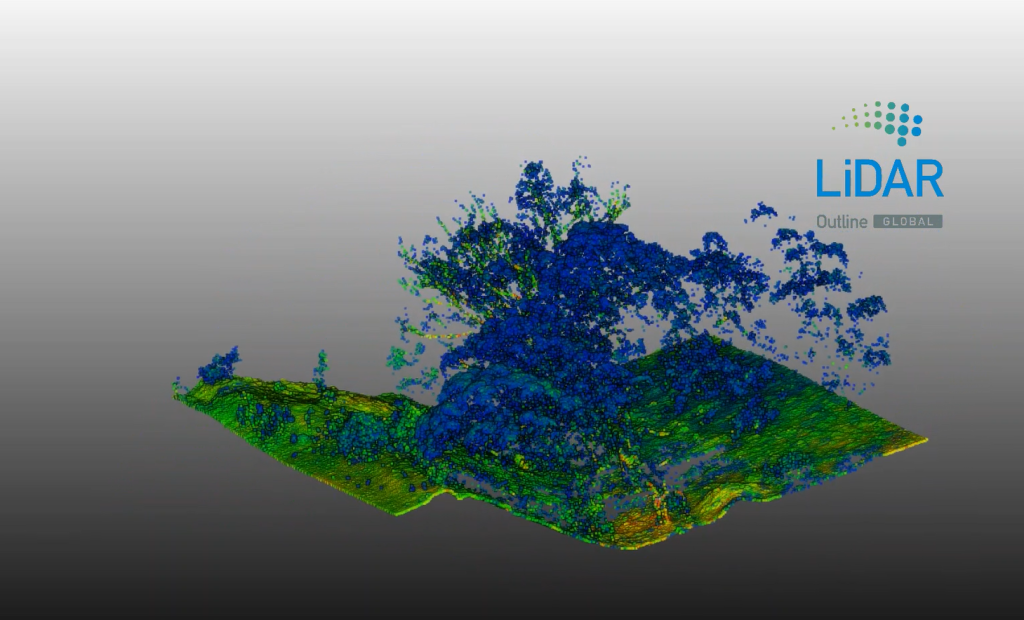
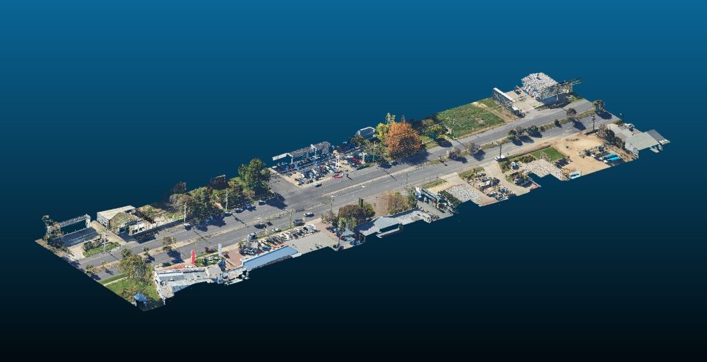
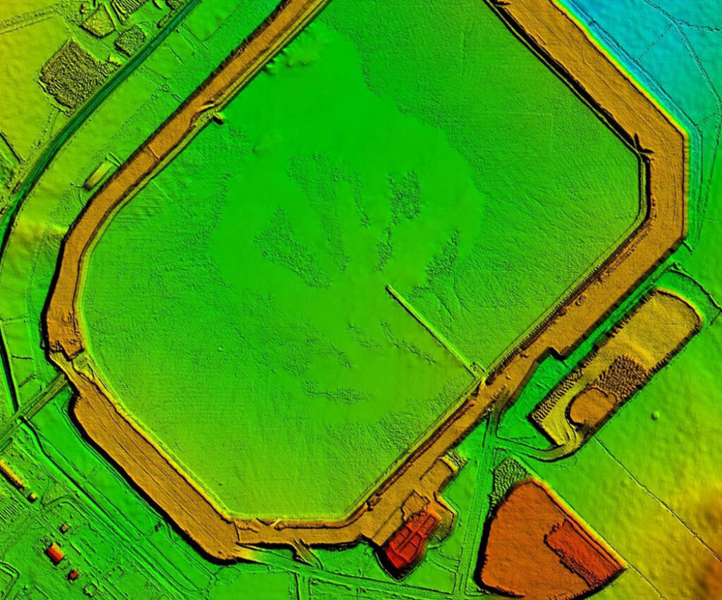
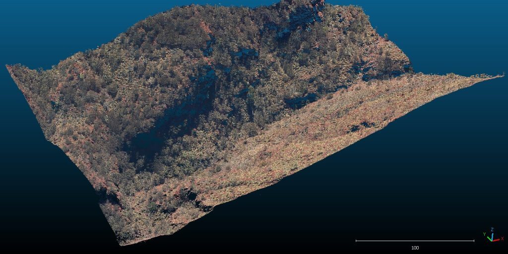
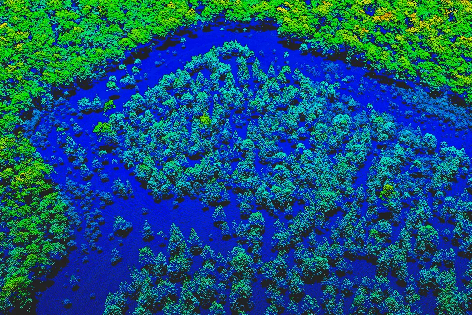
From points to ground
Specifications
| Capture areas | 1 to 1,000 km² |
|---|---|
| Resolution | From 2 up to 40 pts/m² |
| Feature | Wide field of view Automated AI based feature extraction and classification |
| Accuracy | Horizontal 100 mm RMSE Vertical 50 mm RMSE |
Downloads
Information sheet.
Information sheet.
Information sheet.
Key benefits
Flexible point density and grid sampling for different use cases and applications.
Our LX-series is designed to capture large swaths efficiently and maintain high point density.
Industry-leading accuracy and measurement redundancies mean data you can trust.
Industries we work with
LiDAR technology is moving fast and is increasingly popular for reality capture. Speak to us and try our LiDAR products.
Talk to us