Solutions
Insights
We treat every job as an Insights project. We call our AI Augmented Intelligence: it powers knowledge creation.


Solutions
We treat every job as an Insights project. We call our AI Augmented Intelligence: it powers knowledge creation.
Overview
Our approach is to understand the real world AI model outcomes you are trying to achieve and provide a recommended approach across the key workstreams to achieve them. Our AI toolbox is scalable, reliable and actionable when applied to large spatial datasets. Enriching the location dimensions can reveal hidden patterns. Outline Insights is an open architecture promoting transparency in AI model development. We focus on data preparation and refining training data, taking into account the importance of geospatial accuracy, pixel clarity and essential spatial ontology and topology parameters.
Industry-leading knowledge in the planning, capture, preparation and delivery of training data for spatially based AI models. By integrating geographic information with artificial intelligence algorithms, organisations can analyse and visualise data in a spatial context, enabling deeper understanding.
Gallery
Applied
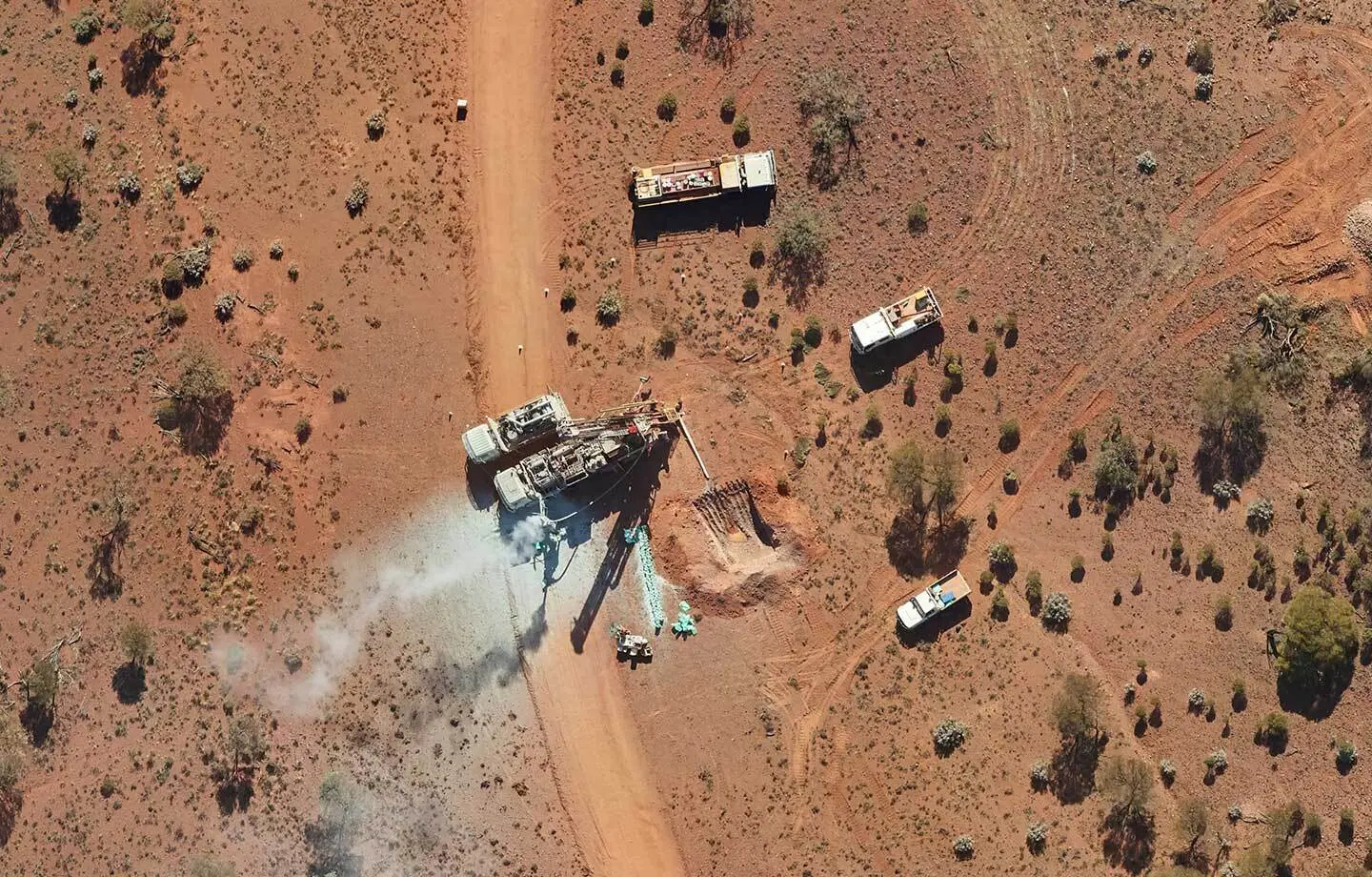
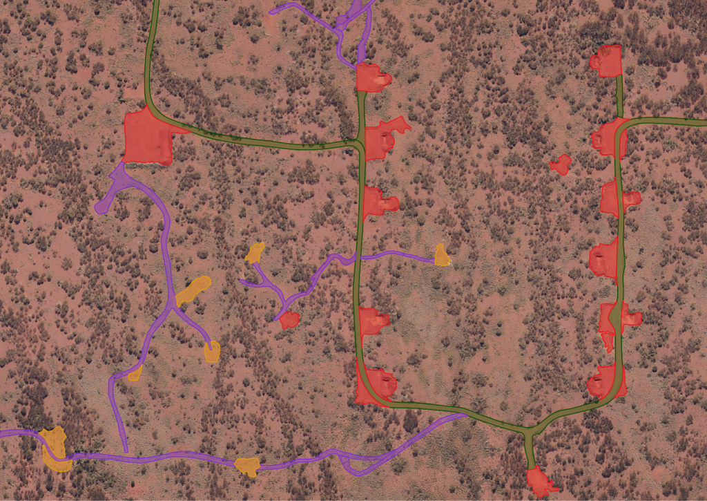
Semi-automatic mapping of vegetation and environmental activities during mining exploration. Our Automated Disturbance Mapping extracts drill pads, tracks and sump pits and detects change between captures. Read how it works.
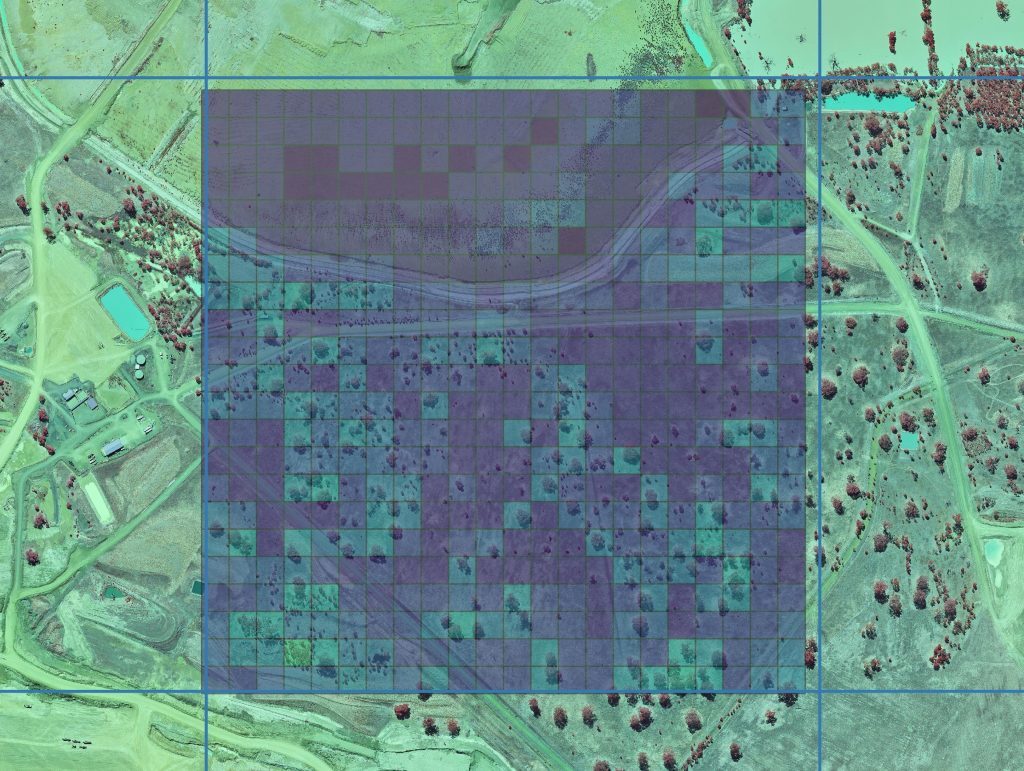
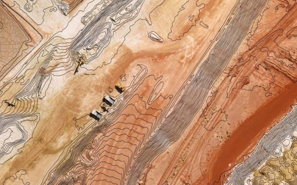
Erosion modelling, landform monitoring, vegetation establishment and surface water assessment to support Mine Closure Plans and Progressive Rehabilitation and Closure Plans. PRCP monitoring.
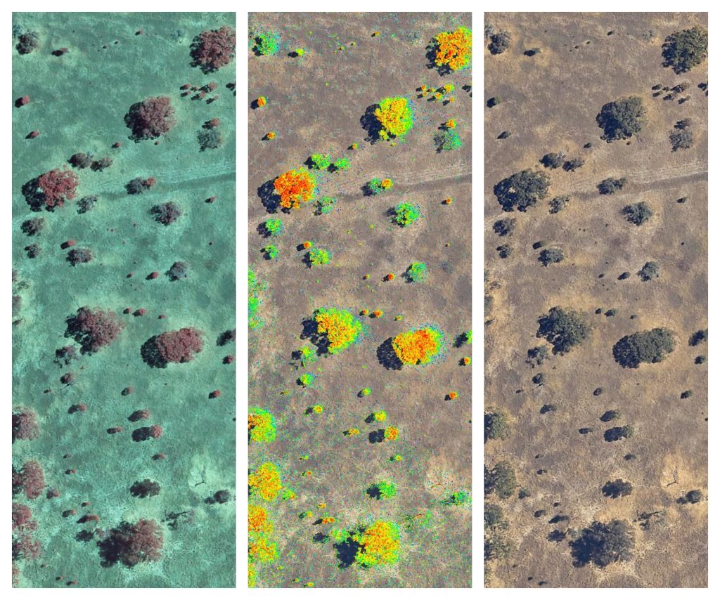
Outline's Environmental Quality Block Engine brings traceable and verifiable environmental change into a single workflow, from Malleefowl nest detection to erosion severity. Finding Malleefowl nests with EQBE™.
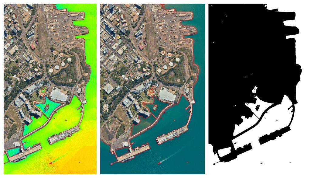
Developed AI segmentation algorithms remove above-ground features such as trees, mining infrastructure and buildings from derived stereoscopic digital elevation models whilst retaining the underlying bare earth.
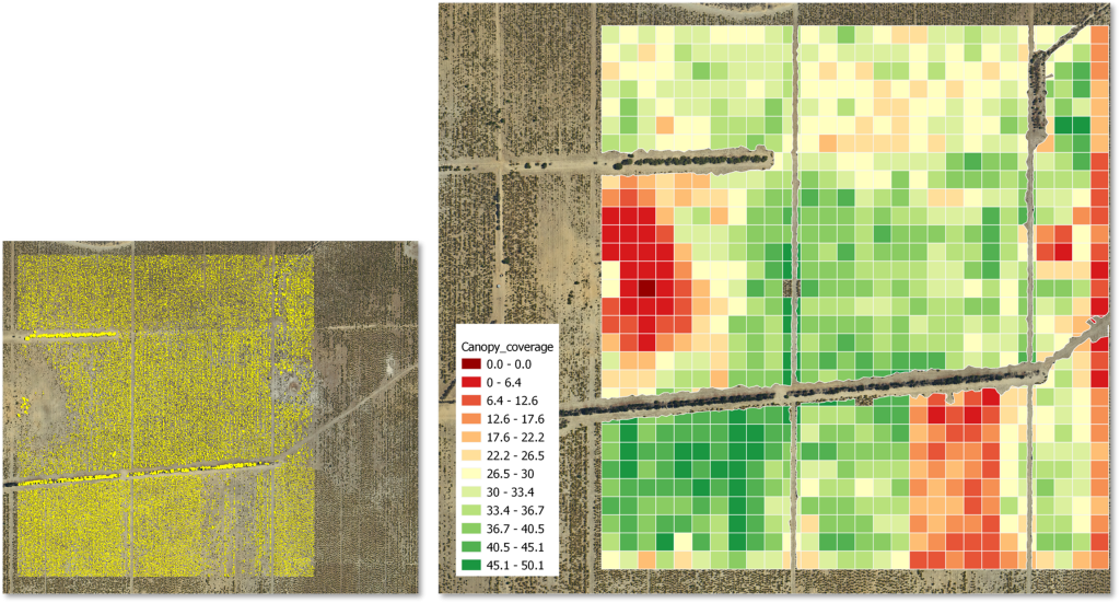
There are many ways to use machine learning and artificial intelligence, but there are also problems where AI is inefficient: large uncertainty and small sampled knowledge. Using traditional geospatial techniques with ML-guided segmentation algorithms promotes a visual understanding and allows for human-in-the-loop enforcement learning.
Specifications
| Model | Classification, bounding box, segmentation |
|---|---|
| Image resolution | To specification From 1 cm to 1 m image pixels |
| Image classification | Binary and multi-class |
| Image labelling | Manual and assisted labelling |
| Image augmentation | Spatial, colour and texture |
| Delivery | Offline, edge or cloud |
Downloads
Information sheet.
Information sheet.
Environmental Quality Block Engine: mine closure module.
Key benefits
Fusing geospatial content with computer vision algorithms at scale.
Award-winning ML/AI design and implementation solving complex problems.
Discover hidden patterns and the undiscovered. Imagery-based AI supports location insights beyond the visible range.
Industries we work with
Talk to us