The platform
Gtech™
At the core of our technology is the Gtech™ platform. We develop and refine our technology in-house, so we are not beholden to third-party limitations and Outline stays at the front of technological change.


The platform
At the core of our technology is the Gtech™ platform. We develop and refine our technology in-house, so we are not beholden to third-party limitations and Outline stays at the front of technological change.
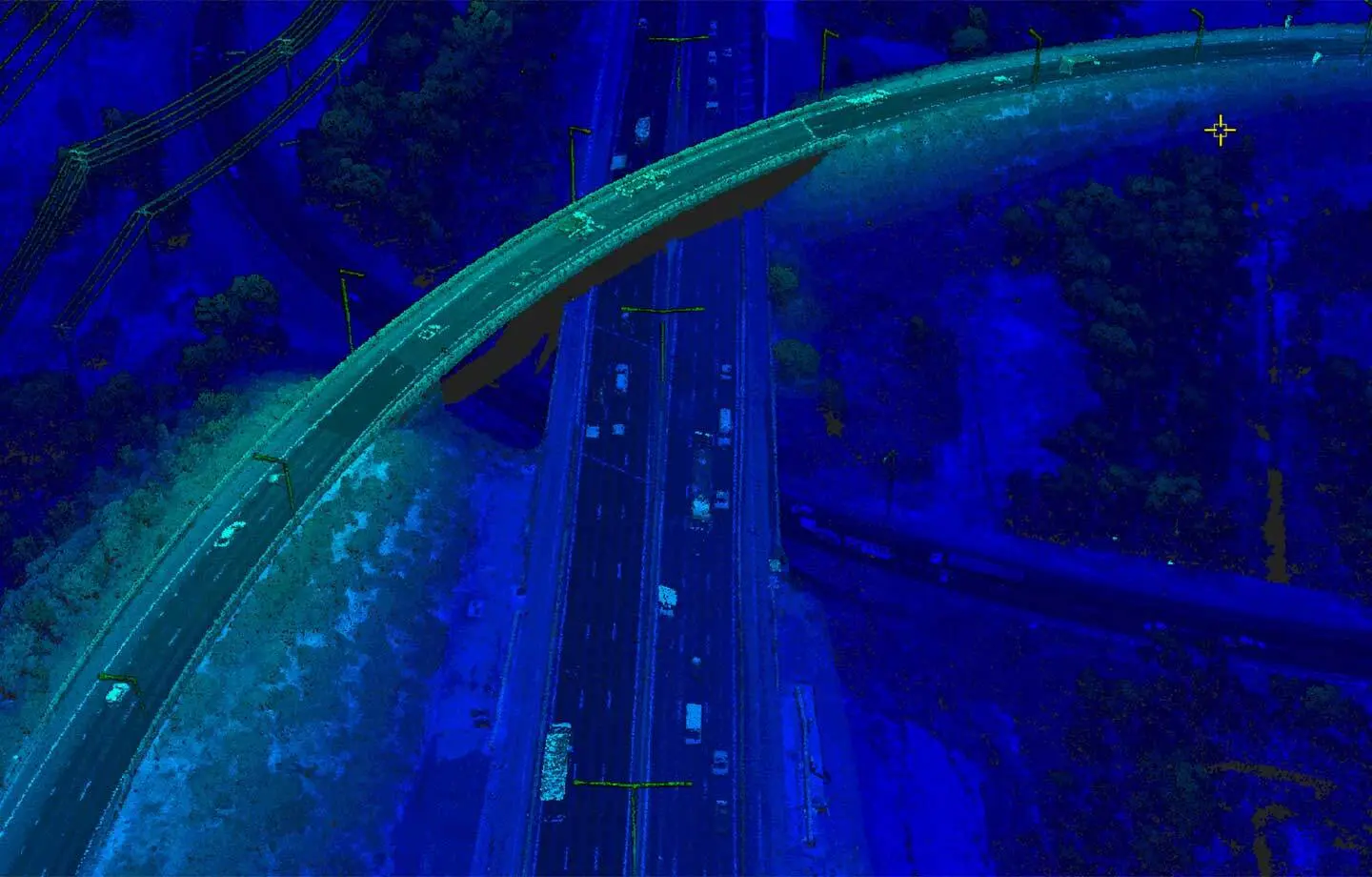
We set trends
There is no such thing as stagnation in the world of technology. That is precisely why we created the Gtech™ suite: to harness technology and data integration, and to let our teams constantly re-imagine the art of the possible.
The Gtech™ family

The genesis of Outline's imaging strength and the continuation of our evolution. The Gtech™ G-series is engineered with a 4-band (RGB + NIR) sensor payload that brings high resolution and precision to aerial mapping. A modular configuration allows flexibility in the sky to tailor for different landscapes.
The LX-series is the latest addition to the Gtech™ family. This LiDAR component has been integrated into our platform and benefits from the platform's advanced GNSS/IMU, with the added benefit of concurrent RGBi imaging. A powerful laser setup with dynamic swath settings offers flexibility for different terrains.

Coming soon. A new experience for imagery and geospatial content designed for on the go.
Coming soon. Our flagship solution tailored for Imagery-as-an-Asset and enterprise GIS workflows.
Systems in service
Aerial imagery data are acquired using our Gtech™ G1500 and G2800 multispectral aerial camera systems. Aerial LiDAR data are acquired using our Gtech™ LX240 and LX480 airborne laser scanners, which work hand in hand with our imagery service.
Talk to us