
At Outline our mantra of ‘where you need us when you need us‘ was perfectly illustrated by our response to an urgent request for flood peak modelling of the Katherine and Daly River floods in the Northern Territory.
The request came in on Friday evening, crews were on board a commercial flight from Perth with the amazing Gtech™ camera pod ‘in hand’, ready to survey out of Darwin in under 48 hours. Kudos to our terrific pilots, operations team and our Darwin based aviation partners for making it all happen. The crew will now be waiting for the best time to take to the skies over the next few days to capture flood peak imagery. This data will be used by the NT Government for critical flood planning activities.
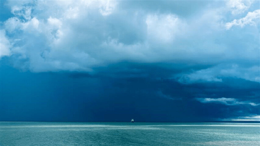
That said, the image below shows good reason why there are still times when we shouldn’t fly.