
Blog

Emergency Response Delivered

How Outline Global mobilised to capture flood peak imagery of the Katherine and Daly River floods for the NT Government.

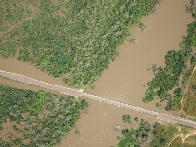
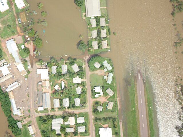
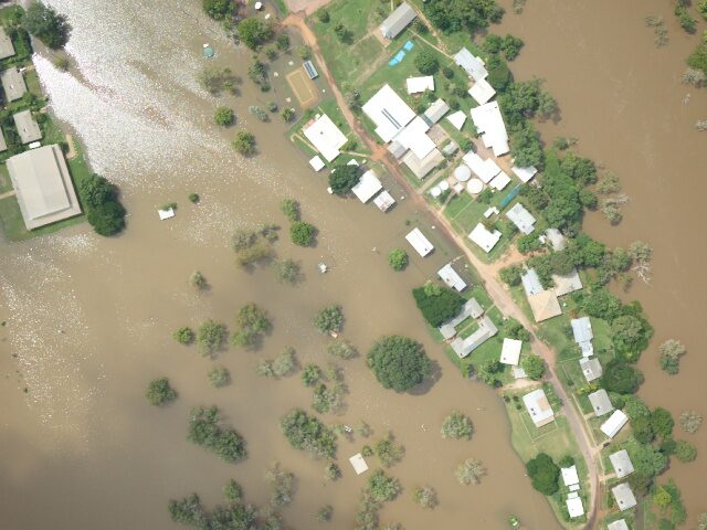
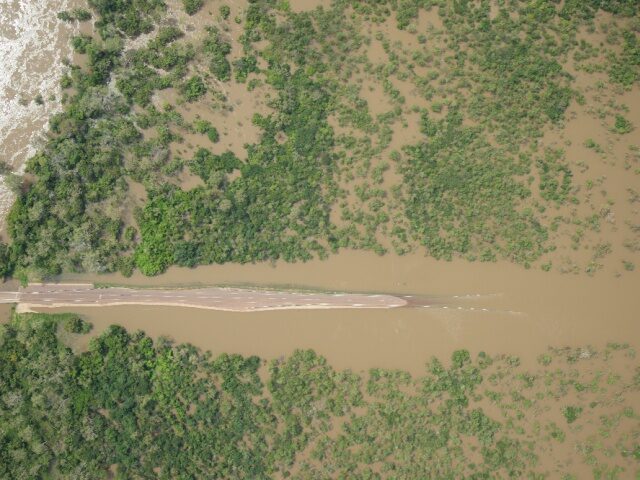
Our recent post covering our quick mobilisation to the Katherine and Daly River floods the scene was set for a dynamic and responsive capture. Thanks to great teamwork between our customer (NT Govt), our suppliers, ops team and flight crews, we were able to capture the flood levels at the best time possible. No easy task either with low cloud, stormy weather our Gtechâ„¢ camera systems adjusted flight plans in near real time to changed conditions and got the job done.
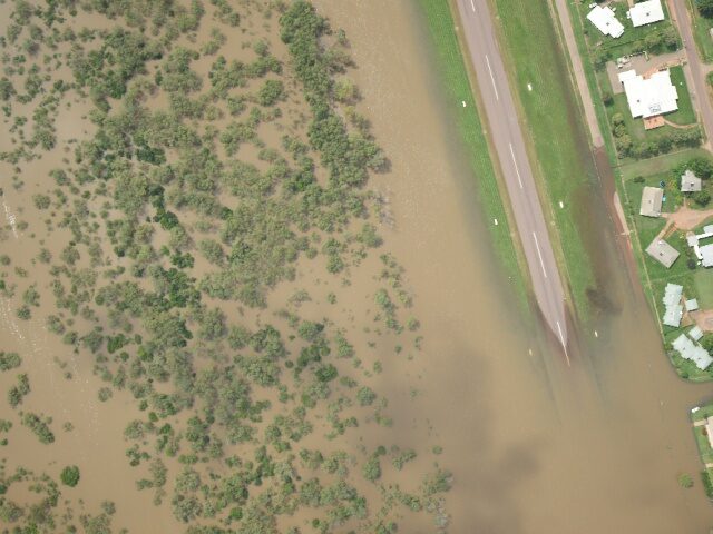
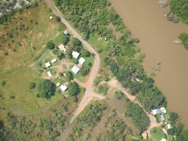
Flood imagery of the Katherine and Daly River region

Flood imagery of the Katherine and Daly River region

All articles

Talk to us

Need straightforward advice on the best image based spatial solution for your business?

1300 945 216