

The planning and asset management process for over 5,500km of widely dispersed rail assets in WA required updated high-resolution ortho rectified maps. Outline was approached to map these areas over a short period in unfavourable winter flying conditions.
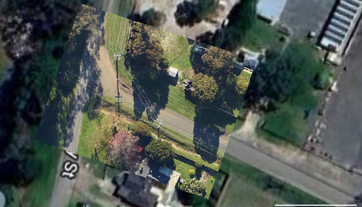
Two Gtech camera systems were simultaneously deployed to capture data along railway corridors spread between Geraldton to Esperance; a total length of more than 5,500km. The image acquisition took 130 aerial survey hours to capture and 1,200 person-hours to process.
All imagery would be ready for use in Geographic Information System (GIS) and asset management systems, within five months. 100% of targets were captured by the camera systems, including several areas with low winter sun angles and other logistical difficulties. The imagery produced by these systems was of high quality, despite the many challenges faced. Our customer maintained a high level of confidence in the project delivery due to accurate and consistent reporting throughout the project.
Download the corridor mapping case study (PDF 430 KB)